


Cycling and running
Cycling and running in Serra de Sicó
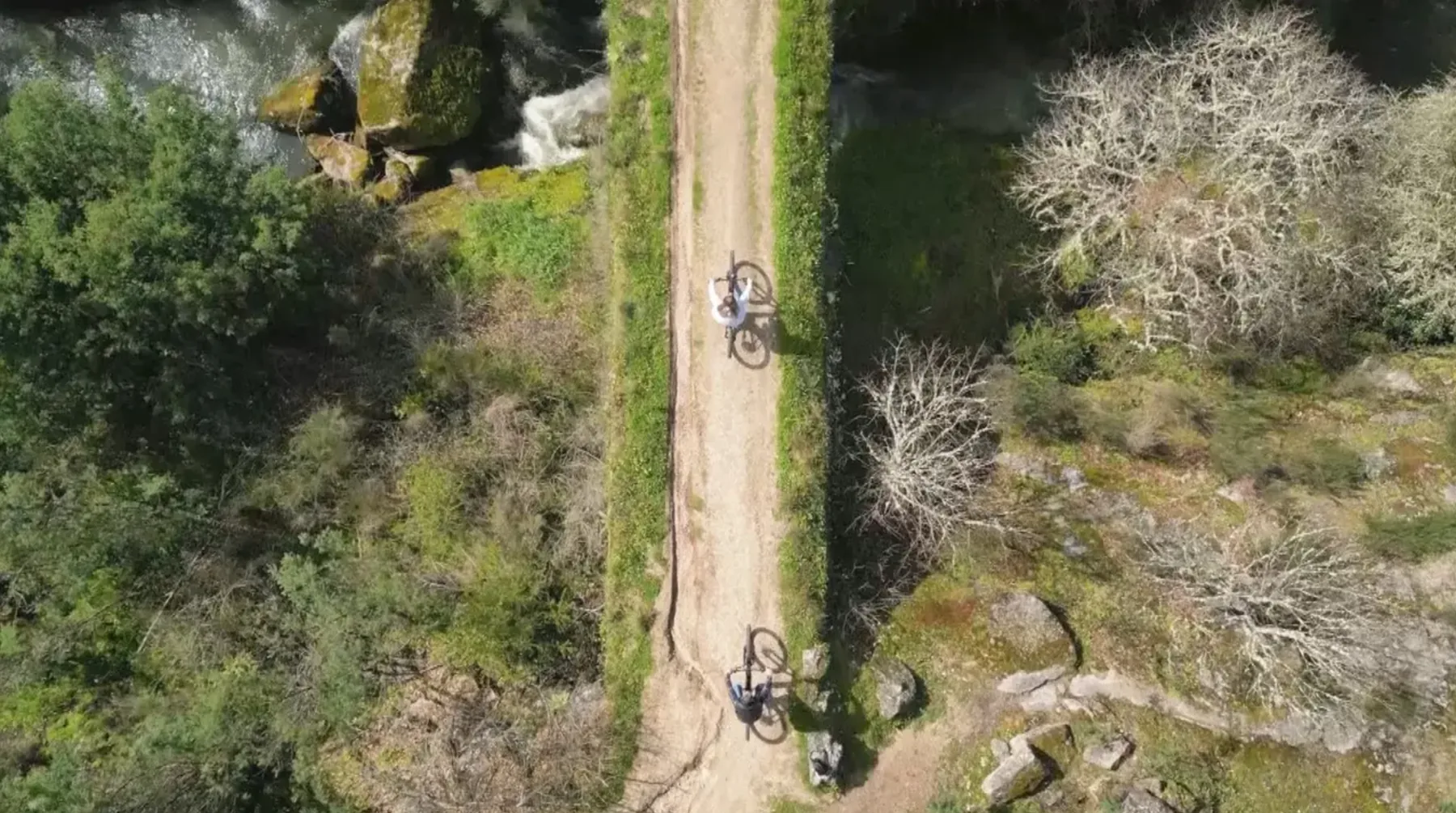
Between Serra de Sicó and the Rio dos Mouros valley, the region offers dirt trails, quiet roads and limestone scenery for those who cycle, run or walk at a good pace.
How you want to move
Road
Low-traffic municipal roads connect the region's villages — good for relaxed cycle touring.
MTB / Gravel
Some dirt trails are shared with walkers. Always confirm a route is suitable for bikes before riding it — not every walking trail is appropriate or authorized for mountain biking.
Trail running
The same Serra de Sicó trails, on foot — for those who prefer running through limestone and cork oaks.
Routes in the region
Walking / Trail running
Rota do Lapiás (GR26)
- Distance
- 29.5 km
- Elevation gain
- 864 m
- Difficulty
- Level III — somewhat hard
- Surface
- Rural paths, forest and karst lapiaz fields
- Duration
- ≈ 8h
- Start
- Redinha, Pombal
Passes through the village
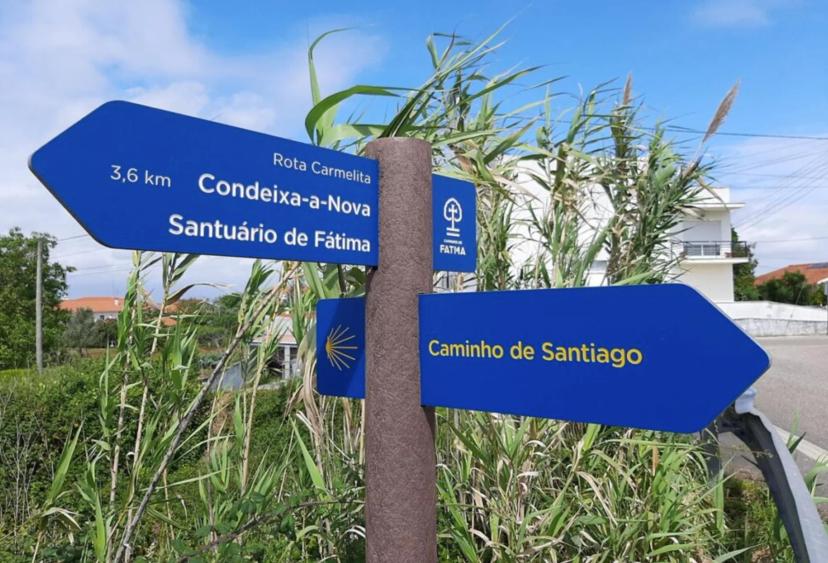
A linear walking trail through the lapiaz fields of Serra de Sicó that passes right through Fonte Coberta, where it joins the Camino de Santiago, before ending at the PO.RO.S museum in Condeixa-a-Nova. It is a hiking route — always check locally whether a section is suitable for MTB before attempting it by bike.
Walking / Cycle touring
Rota do Queijo Rabaçal (GR26)
- Distance
- 27 km
- Elevation gain
- 702 m
- Difficulty
- Level IV — hard
- Surface
- Rural and forest paths
- Duration
- ≈ 8h
- Start
- Penela
Passes through the village
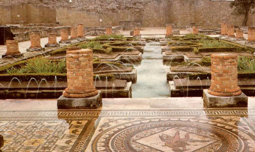
A linear walking trail down from Penela Castle to Alvorge, passing through Chainça and Zambujal — the village next to Fonte Coberta, where it also crosses the Camino de Santiago — and the Roman Villa of Rabaçal. It is fully self-supported: there are no cafés or shops along the way, so bring water and food.
Where the routes start
Casa da Fonte Coberta, Redinha, Penela, Zambujal, Rabaçal, PO.RO.S
Map: © OpenStreetMap contributors. Data source: terrasdesico.pt — Walking distances are an estimate (straight-line distance × 1.3, to approximate the real path) — not a measured route.
- Directions from the house
Redinha
17 km (walking estimate)
- Directions from the house
Penela
9.7 km (walking estimate)
- Directions from the house
Zambujal
2.5 km (walking estimate)
- Directions from the house
Rabaçal
5.4 km (walking estimate)
- Directions from the house
PO.RO.S
7.1 km (walking estimate)
After the effort, take the chance to try Rabaçal cheese and local bread — products from the same region you're riding through.